
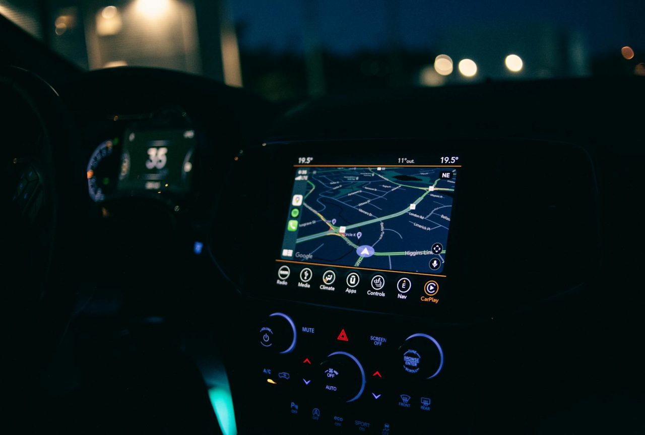
GPS dead zones are not just an annoyance for drivers; they remove an absolute positioning reference that autonomous systems rely on to make timely, lane-level decisions.
A downtown canyon where reflected signals make positions jump by several meters in a single traffic-light cycle, or a covered garage where satellites drop out entirely for 60–90 seconds, forces a stack to shift modes, reweigh sensors, and, at times, slow down or stop. Below: practical engineering choices, failure points, diagnostics, and clear signals for when to call a professional or regulator.
Why GPS dead zones matter for autonomous vehicles?
Autonomous vehicles use GNSS (GPS, Galileo, GLONASS) as an absolute anchor. When that anchor becomes unreliable, the vehicle must rely on relative positioning and external infrastructure.
The risk is a silently growing uncertainty: IMU and odometry drift, sensor occlusions, or stale map data can combine to create confident but incorrect localization, the worst kind of failure because it looks normal until an error causes a sudden maneuver.
Where dead zones happen and what causes them?
- Urban canyons: tall buildings block sky visibility and produce multipath reflections that bias solutions by several meters unpredictably.
- Tunnels and covered garages: total signal loss for extended periods; GNSS is unusable until the vehicle exits.
- Dense foliage: attenuation and intermittent fixes that drift over time.
- Electromagnetic interference and jamming: industrial equipment, hobbyist jammers, or intentional jamming near conflict zones can deny GNSS. Reports show recent regional jamming incidents affecting aviation and maritime services.
- Poor receiver setup: low-cost antennas, bad placement, or metal roof racks can create local shadowing even in otherwise good areas.
How autonomy stacks keep moving when GNSS degrades?

Autonomy treats GNSS as one strong input among many. When GNSS degrades, systems switch to a layered approach: short-term inertial continuity, odometry from exteroceptive sensors, map-based absolute references, and networked aids. Each layer has clear trade-offs in latency, accuracy, and environmental robustness.
Inertial Measurement Units (IMUs) and dead‑reckoning
IMUs sample acceleration and angular rate at high frequency (100–1,000 Hz). Integrated once, they give velocity; integrated twice, position — dead‑reckoning. That continuity is invaluable during short outages.
Noise and bias grow quickly with time. A tactical-grade IMU may hold lane-level accuracy for minutes; a consumer MEMS unit drifts to meters in tens of seconds. Cost determines endurance: spend more and you buy longer, but not infinite, autonomy without absolute corrections.
Visual odometry, LiDAR odometry, and sensor fusion
Visual odometry (VO) tracks features in camera frames; LiDAR odometry aligns 3D point clouds. Fusing VO or LiDAR odometry with IMU (visual-inertial or LiDAR-inertial odometry) reduces drift because each modality compensates the other’s weaknesses: IMU fills frequency gaps, LiDAR provides geometry, and cameras give texture.
Radar adds robustness in rain or snow but offers lower spatial resolution. The honest trade-off is complexity: more sensors and fusion algorithms mean more calibration, more compute, and more failure modes to monitor.
HD maps and cooperative positioning
High-definition maps store lane geometry, curbs and3D landmarks to provide a quasi-absolute reference when GNSS fails. Localizing against HD maps (LiDAR-to-map or vision-to-map matching) can restore lane-level accuracy.
HD maps cost time and money to create and update; a construction site or temporary lane change can make a previously reliable tile misleading.
Vehicle-to-everything (V2X) adds cooperative localization: if a nearby vehicle has a good fix, it can share relative pose data to anchor others. That works well in corridors or fleets but requires penetration rates and secure, low-latency links.
Cellular and network-based positioning
Cellular positioning (3G/4G/5G) provides a regional absolute reference using signal timing, angle-of-arrival or fingerprinting. Accuracy varies from meters to hundreds of meters depending on density;5G mmWave can approach sub-10-meter in dense deployments, but coverage gaps remain.
Cellular helps bound uncertainty but rarely supplies lane-level accuracy alone. Use it as a sanity check rather than the primary lane reference.
Failure modes to design for and diagnostics to run
Good systems detect degradation early and switch modes predictably. The operational stack should log signal health metrics, compare modalities continuously, and apply conservative timeouts to IMU-only navigation.
Most common failure points
- Sensor drift: IMU and odometry errors accumulate. Without regular absolute corrections, uncertainty grows until the vehicle must reduce speed or stop.
- Map mismatches: stale HD maps or temporary changes (detours, construction) can mislead localization algorithms that assume map accuracy.
- Multipath conflicts: reflected GNSS positions may disagree with LiDAR or camera estimates, requiring fusion filters that downweight inconsistent inputs instead of averaging them.
- Spoofing and jamming: spoofing can supply plausible-looking but false absolute positions; jamming causes a sudden loss. Both demand spectrum monitoring and receiver-side anti-spoof checks.
Actionable diagnostics and health checks
- Signal health logs: record satellite count, signal-to-noise ratio, dilution of precision (DOP), and receiver-reported anomalies. A satellite count below 4 or a DOP above 10 signals unreliable GNSS.
- Cross-sensor checks: continuously compare GNSS-derived velocity to wheel encoders and IMU-derived velocity. Divergence beyond expected noise should trigger degraded-operation modes.
- Map confidence metrics: monitor matching scores between LiDAR/vision features and HD maps. Low scores for consecutive frames indicate the map may be wrong.
- RF monitoring: Use spectrum analyzers or embedded jamming detectors to spot anomalies: sudden loss of all satellites, identical signal patterns across channels, or impossible time shifts.
- Antenna checks: include antenna placement and fastening in routine maintenance checklists; loose mounts or aftermarket racks cause intermittent local dead zones tied to heading.
Tooling, test plans, and when to call a professional
Testing requires controlled and in-field trials. Tools include GNSS loggers, spectrum analyzers, vehicle-in-the-loop rigs, and mapping platforms. For fleets, build a repeatable test plan and a ticketed workflow for map refreshes and RF investigations.
| Test | Purpose | Typical duration |
|---|---|---|
| Urban canyon drive | Measure multipath, map matching, and fusion stability under building reflections | 30–90 minutes |
| Tunnel transit | Evaluate dead‑reckoning endurance and handback accuracy | 5–30 minutes per pass |
| Interference sweep | Detect local RF jammers or noisy equipment | 1–3 hours per site |
- If interference or suspected jamming persists: involve RF specialists and notify the relevant regulator — jamming is illegal in many jurisdictions and risks aviation and maritime safety.
- For fleet: scale HD map failures or frequent localization errors, hire mapping specialists to refresh tiles and reconcile logs against high-quality ground truth.
- If safety: critical behaviors trigger (emergency stops, repeated degraded maneuvers), consult systems engineers and safety assessors — vehicle-level diagnostics rarely surface deep sensor-fusion pathologies.
- Mechanic checklist: have your shop inspect antenna mounts, cable terminations, and chassis-grounding for RF shielding issues; these are common, simple fixes that reduce intermittent dead zones.
Practical scenario: downtown detour through an underground garage
An autonomous taxi reroutes around a daytime construction site into an underground parking garage. Inside for 60–90 seconds, the vehicle runs IMU-assisted dead‑reckoning fused with wheel encoders and short-term LiDAR odometry. On exit, it reacquires GNSS but sees DOP12 and fluctuating fixes.
The stack reduces GNSS trust, increases weight on LiDAR-to-map matching, drops target speed by20%, and broadcasts a reduced-capability state to fleet operators via V2X. The route finishes safely because the HD map and short-term odometry held up; if the garage transit had lasted several minutes or the HD map were stale, the system would have moved toward a safe-stop.
Here’s the catch: teams often assume GNSS fixes will return to high quality immediately on exit. In practice, multipath in urban canyons can leave GNSS noisy for minutes. Your diagnostics should expect that delay and auto-adjust confidence scores rather than flipping GNSS from off to full trust.
What do people miss in operations?
Overconfidence in low-cost IMUs — they buy time but not minutes at lane accuracy.
- Skipping routine RF sweeps — a noisy transformer or nearby workshop can cause persistent localized interference that mimics dead zones.
- Not tying map: freshness into route planning — a tile age threshold prevents blind reliance on stale geometry.
A common observation: technicians frequently notice a vehicle that “loses GPS” only when parked under a service gantry with metal shelving; the problem looks like a GNSS outage but is a simple antenna-shadowing issue. That small, lived-in moment saves hours once you look for it.
Safety warnings and required tools

Safety warning: if GNSS jamming is suspected near public infrastructure, stop operations in the affected area and notify authorities; persistent jamming can endanger aviation and emergency services.
- Tools to carry: GNSS logger with raw observables, a portable spectrum analyzer, IMU/odometry data recorder, and a map-confidence monitor. For fleet operations, add automated anomaly reporting and ticketing.
- When testing: use a chase vehicle to validate reported positions and a vehicle-in-the-loop setup for repeatable failure injection.
Common Mistakes
Assuming GNSS will “just come back” — no timeouts for IMU drift cause accumulated errors.
- Blind map trust — no freshness or confidence checks, let temporary changes mislead localization.
- Neglecting RF checks during maintenance — persistent local interference can masquerade as intermittent dead zones.
- Undervaluing IMU limitations — teams overestimate dead‑reckoning durations with MEMS units.
Practical conclusion
Autonomous vehicles survive GPS dead zones by combining inertial continuity, redundant exteroceptive sensors, networked aids, and HD maps. None of these is sufficient alone; resilience comes from careful fusion, conservative timeouts, active diagnostics, and clear escalation paths to mechanics, RF specialists, and regulators. The honest trade-off is cost and complexity versus predictable behavior in the real world: invest selectively where your route profile shows repeated pain points.